Location
SH 759 747
Directions
On a minor road at the head of the Conwy Valley (on the Trefriw side of the river) heading up to the old church (A very well known and famous one (I think for being the highest in Wales) whose name is St. Celynin).
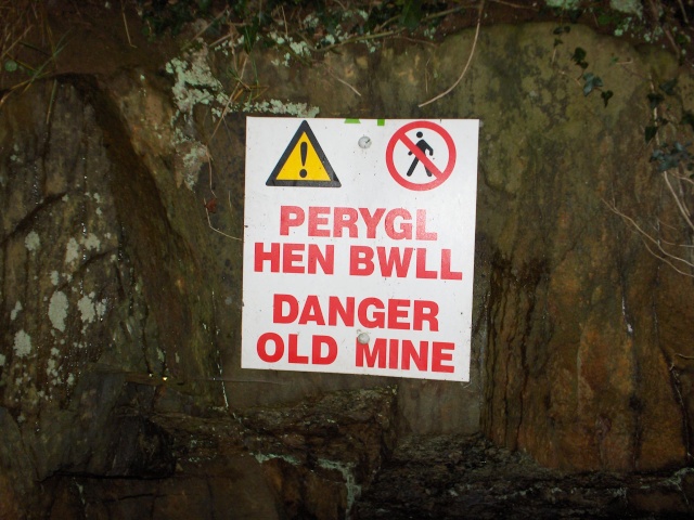
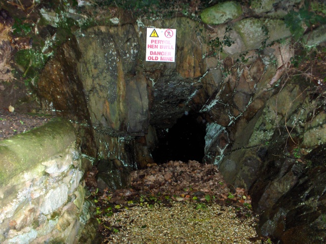
It is marked on the O/S map as a mine (dis) and it right by the side of the road and, quite literally, underneath the footings of a house (a small row of houses are built onto an elevated position above the adit entrance – if you entered the mine you would be walking underneath the houses).
Access
It is ungated and accessible but I have no clue who owns it and it is, quite literally, at the side of the tarmac of the road.
Suggested Equipment
Unknown
Length
Unknown
Flood risk
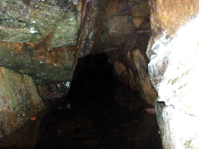
It is immediately flooded to, around, chest depth. Although logic suggests it should become shallow the further you enter – this is not always the case. Part (most) of this mine is believed to be totally submerged.
Mine Attributes
Probably slate
Description
Part (or most) of this mine is now believed to be under river level and lost. Very little is known.
Unexplored Passages
Nothing has been explored
Digs
None Known
Links
www.mine-explorer.co.uk/mines/Trecastell_571/Trecastell.asp
www.museumwales.ac.uk/cy/800/?mineral=169